Make informed acquisition and development decisions through spatial analysis.
About the Service
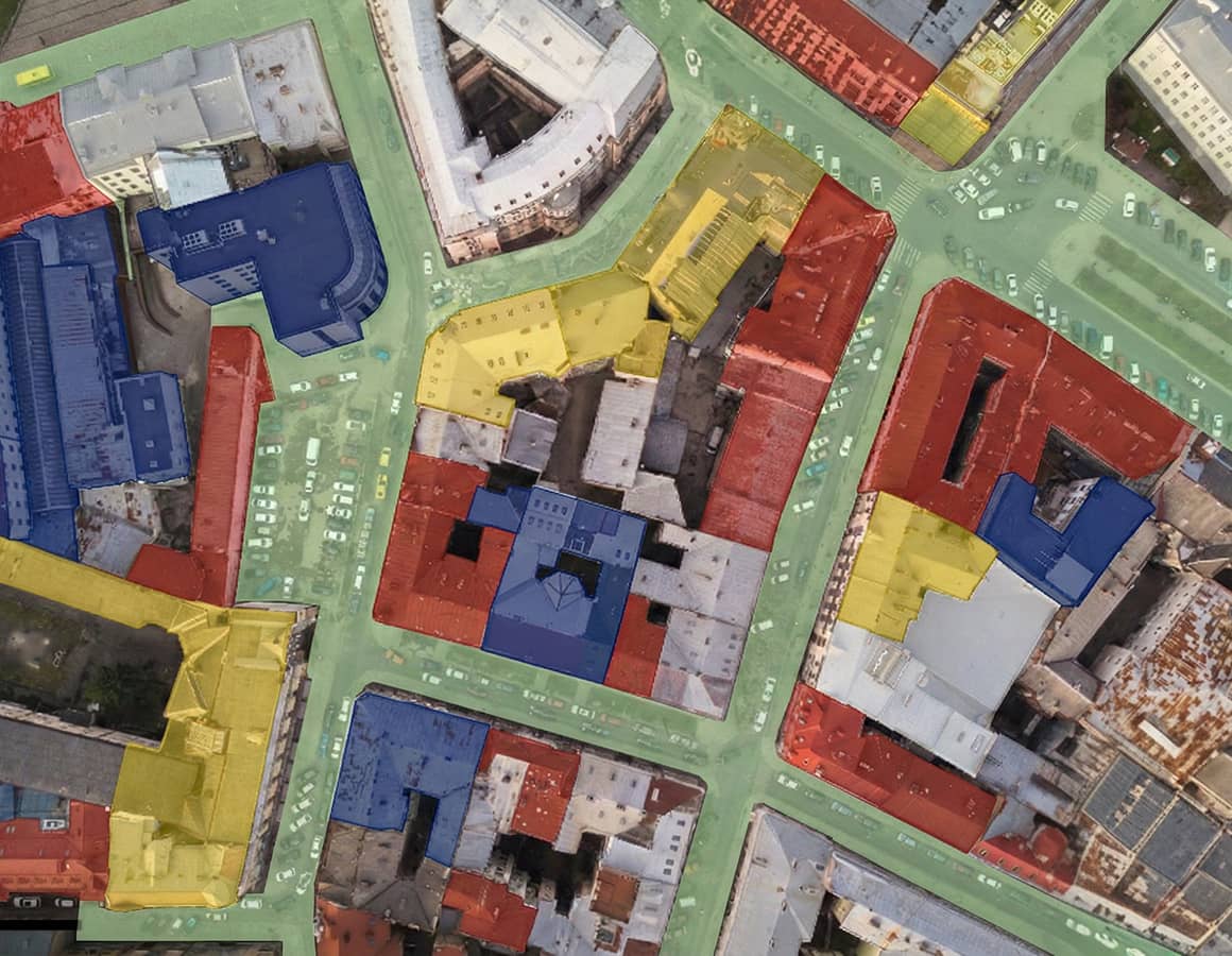
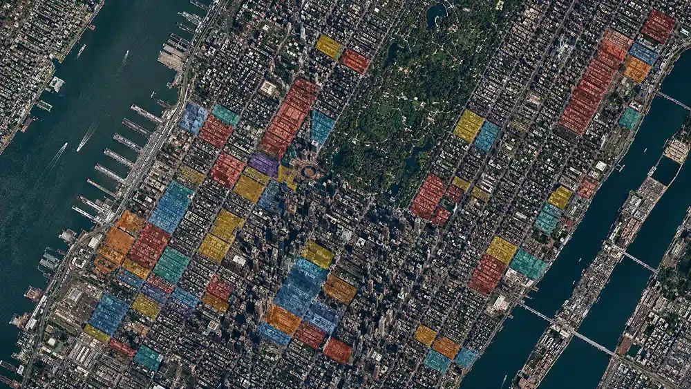
Geospatial Data Services use advanced mapping and analytics to support strategic site selection and development planning. Leveraging industry-leading GIS software, we analyze geographic, demographic, and infrastructure data to identify the locations best suited for your project.
Under the guidance of our CTO, a Harvard-educated data scientist and architect, our team integrates spatial datasets with development criteria to uncover patterns and opportunities that may not be apparent through traditional evaluation methods. This data-driven approach strengthens decision-making at the earliest stages of a project.
By mapping, analyzing, and managing complex datasets, we help clients evaluate risk, assess growth potential, and align acquisitions with long-term strategic goals. The result is a clear, actionable understanding of where and why to invest.